Photo Album
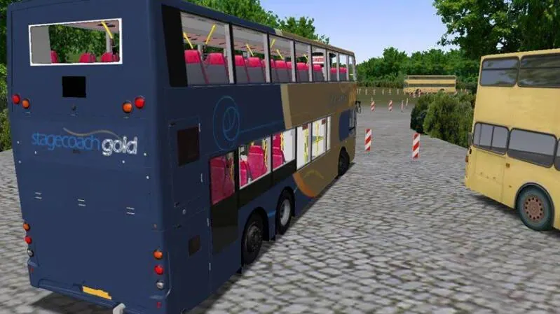
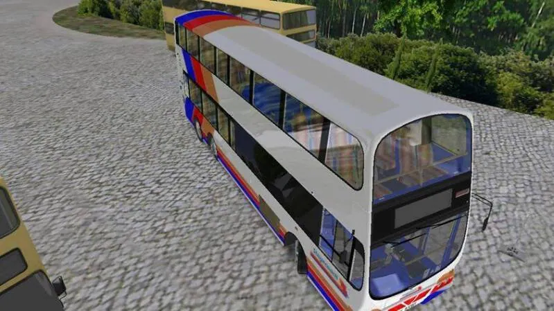
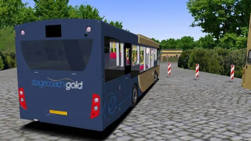
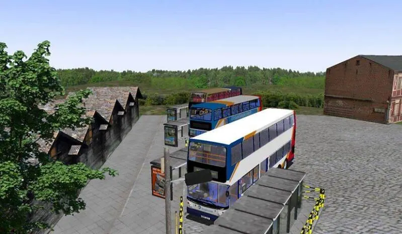
Photographs and screenshots recovered from the original DSG Network website.
EXPLORE THE ARCHIVE.
This page was reconstructed from the downloaded DSG Network website. Some historical project details, external links and product information may no longer be current.
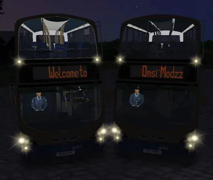
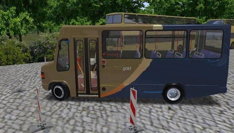
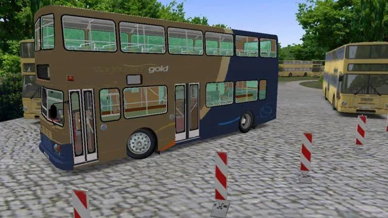
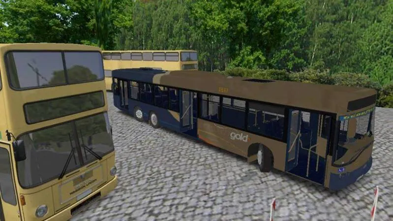
This page displays various photos of the 3 DSG Networksᶜᵒⁿˢᵒˡᵉ merged products down below will show you in category these images.
Omsi_Modzz > First Page Opening of Repaints in 2015
Omsi_Modzz > 2015
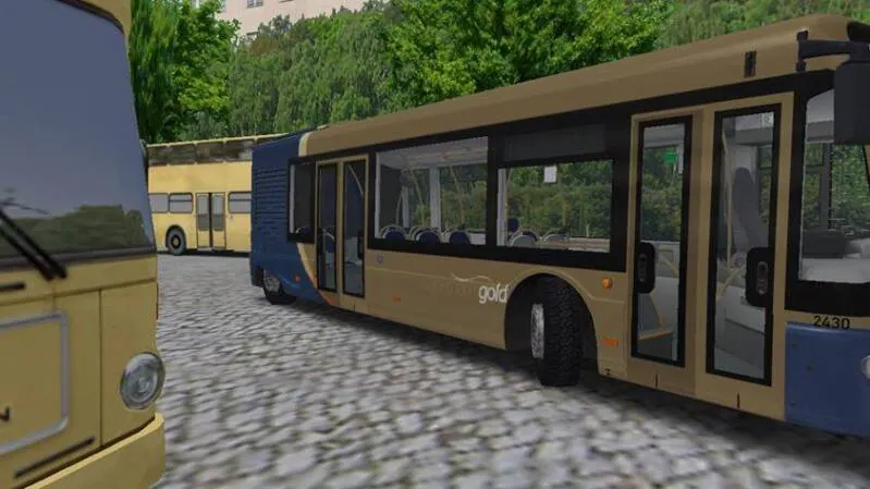
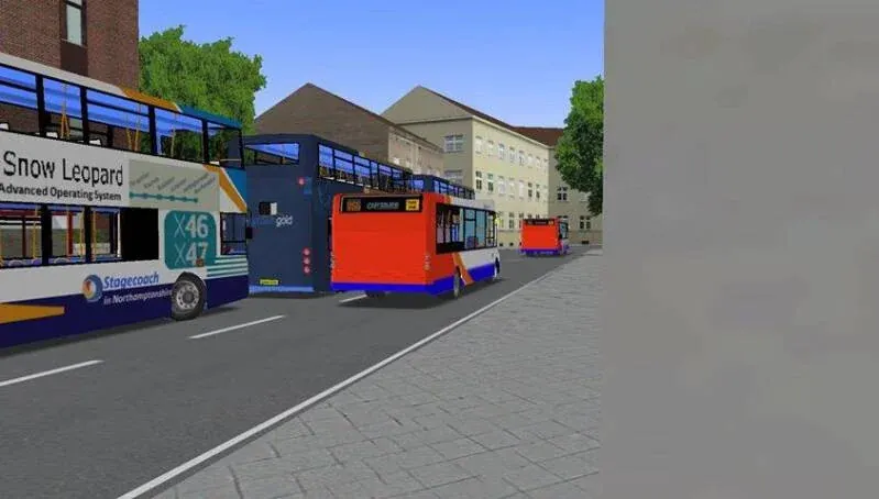
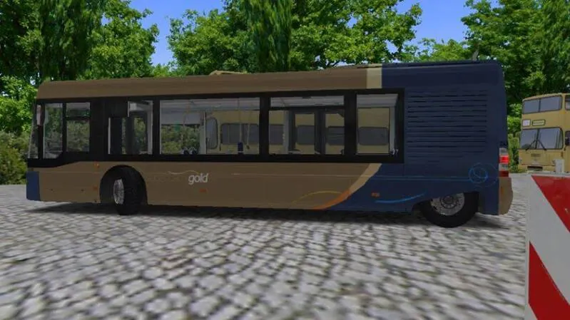
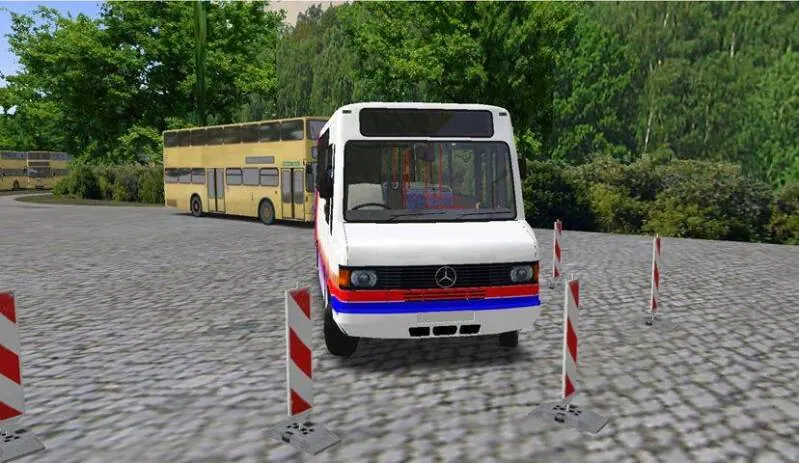
Omsi_Modzz > 2015-16
Omsi_Modzz > Cover Photos
Omsi_Modzz > Northampton Map
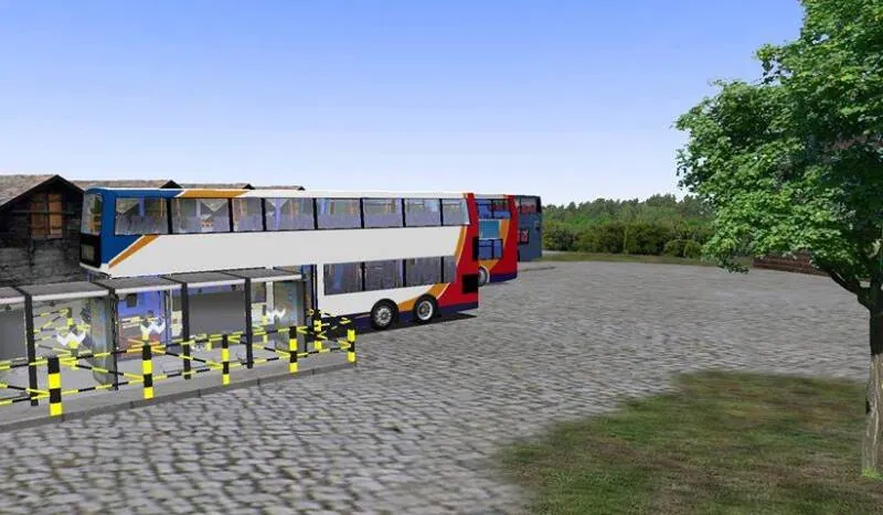
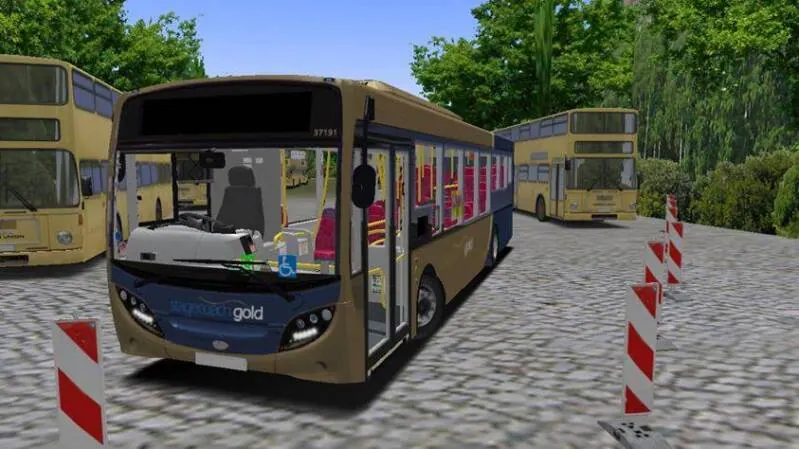
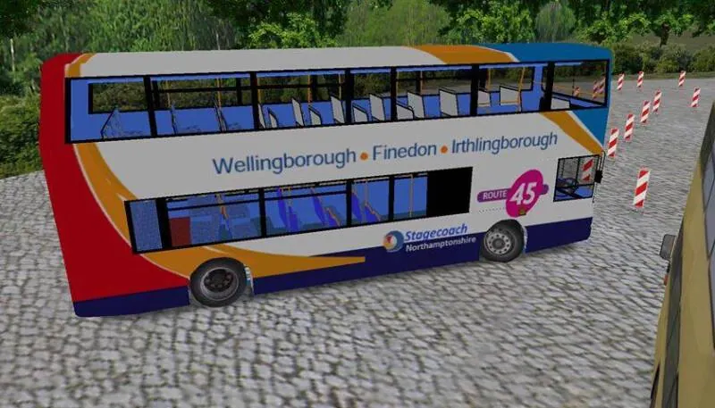
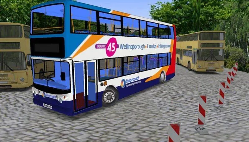
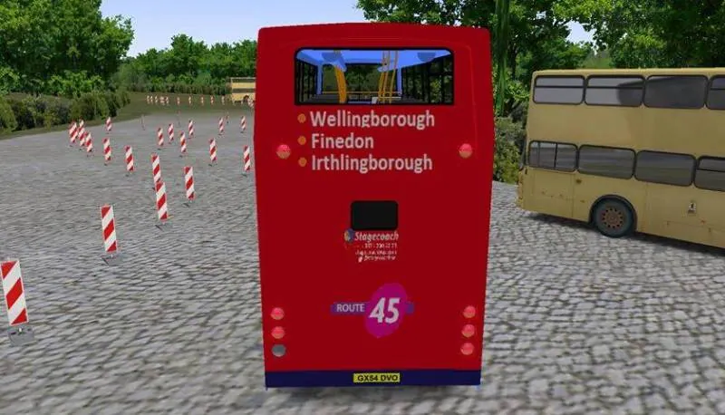
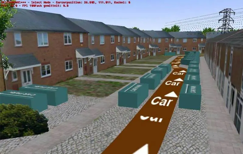
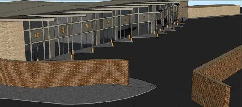
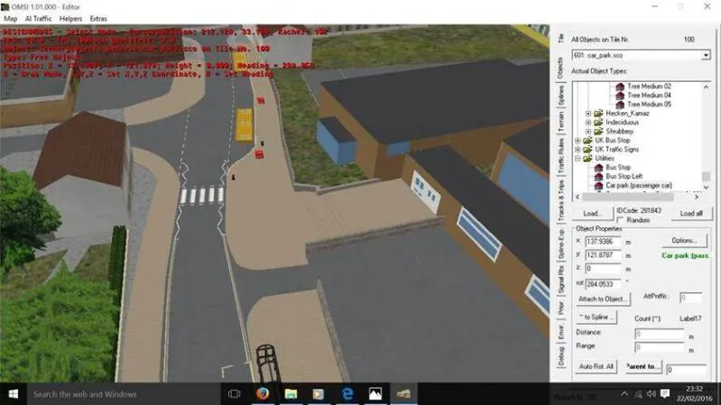
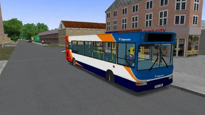
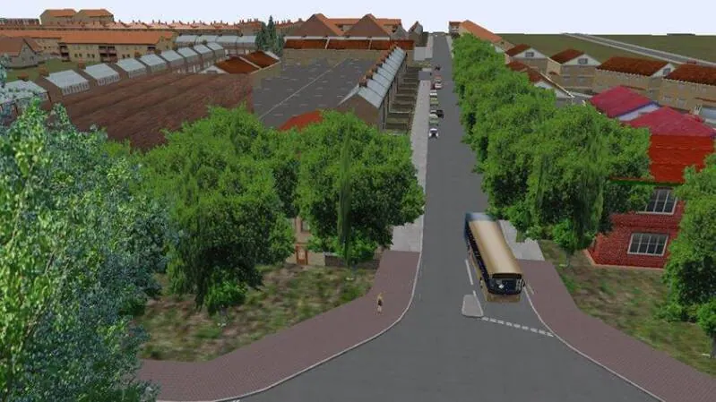
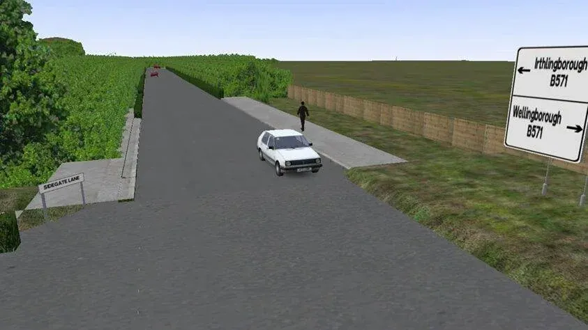
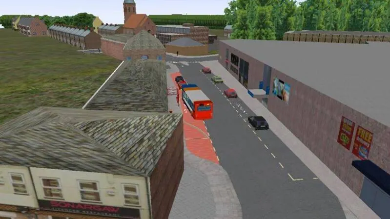
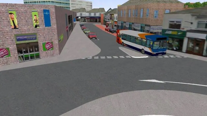
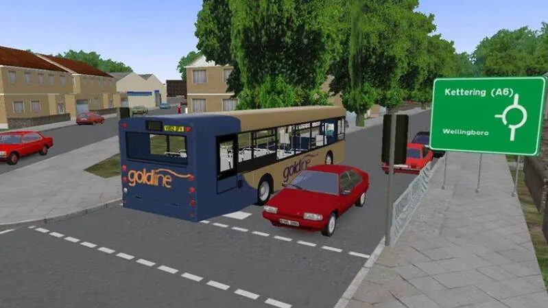
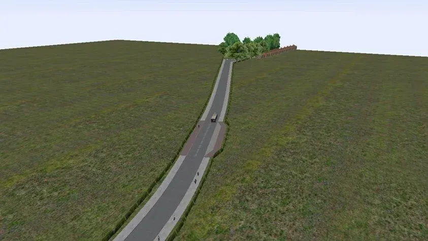
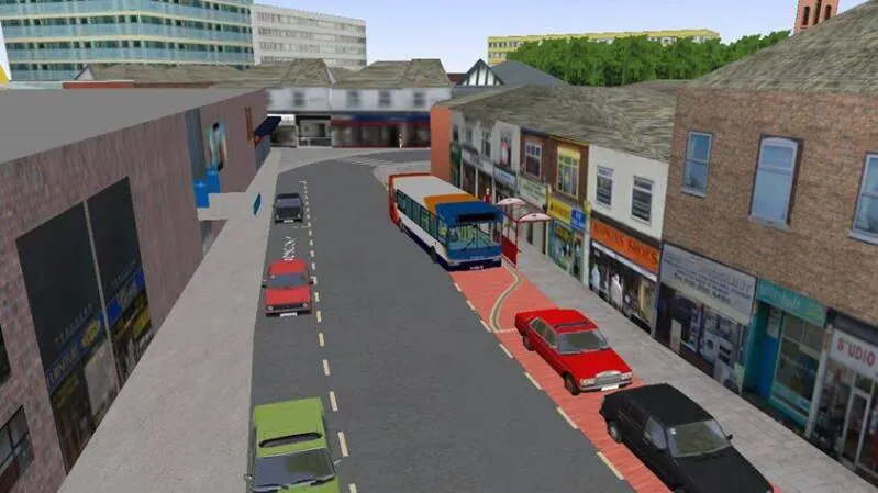
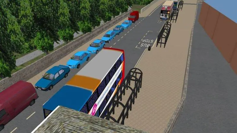
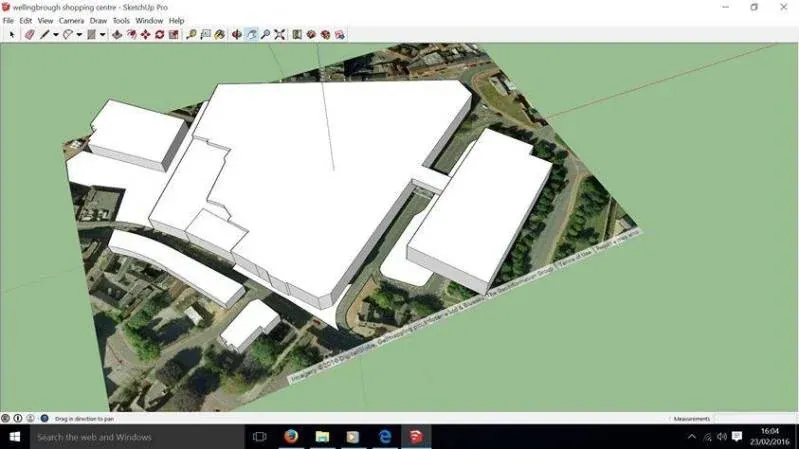
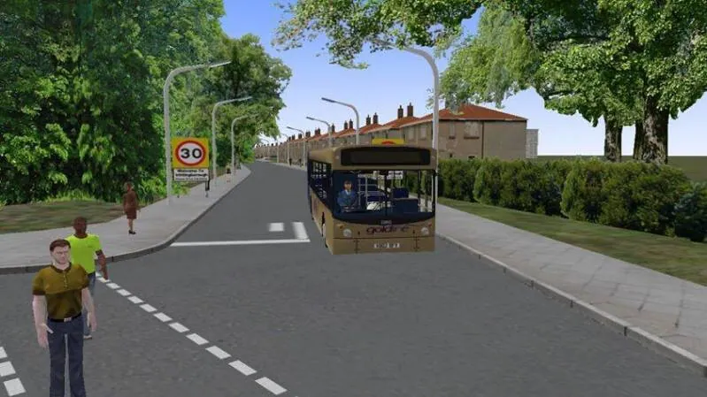
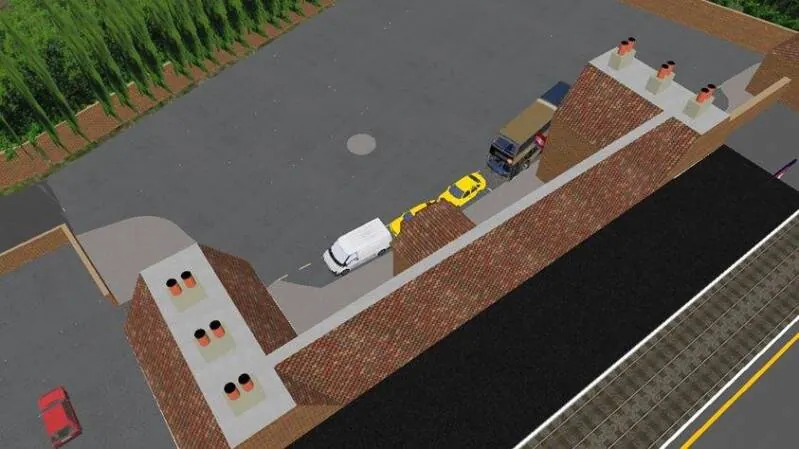
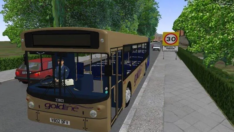
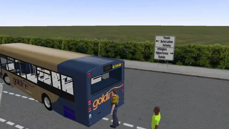
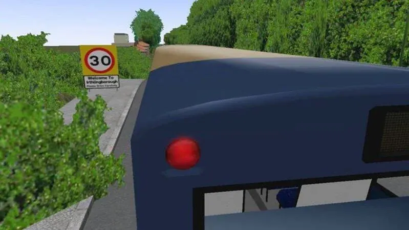
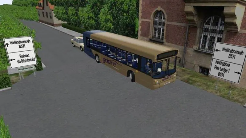
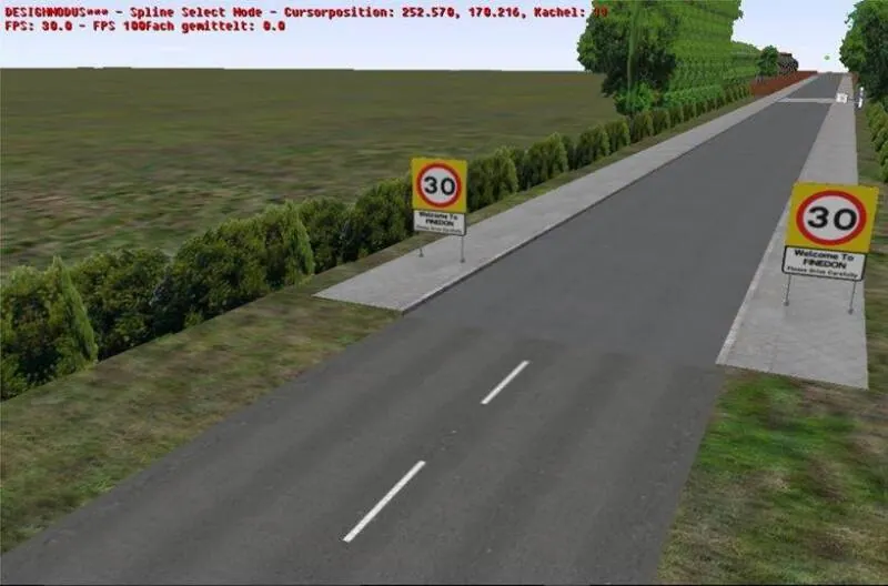
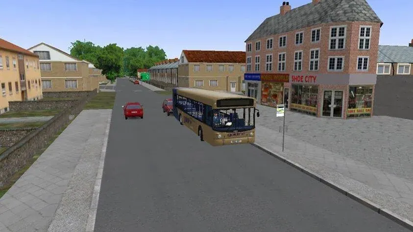
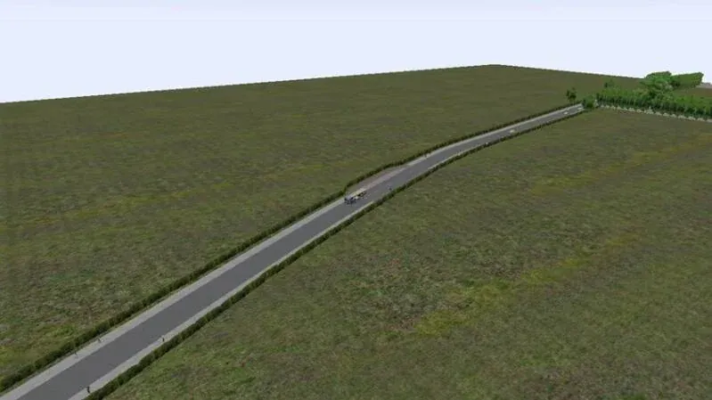
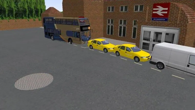
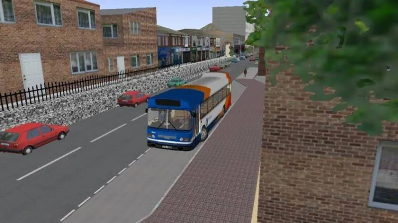
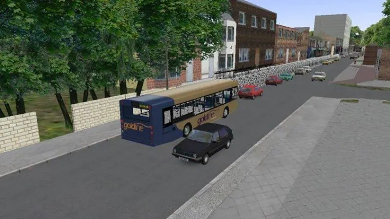
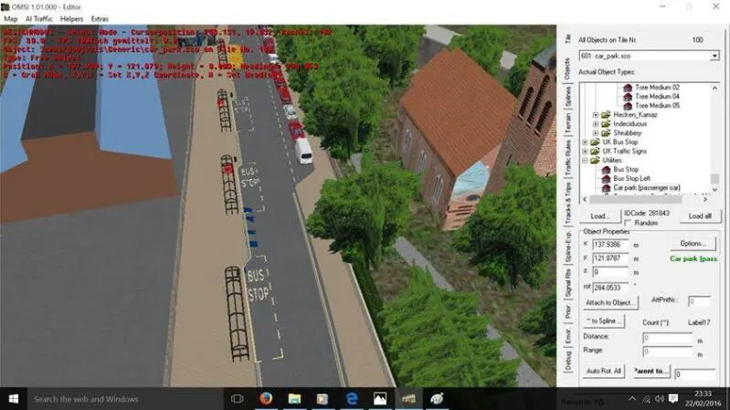
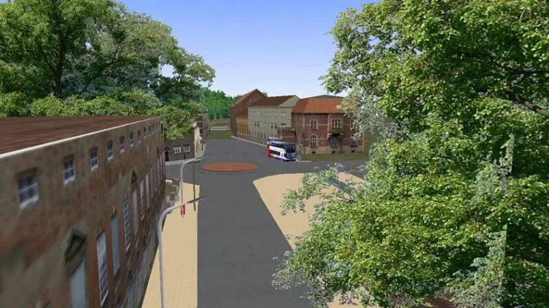
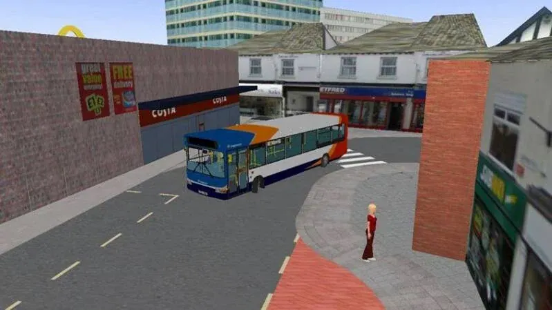
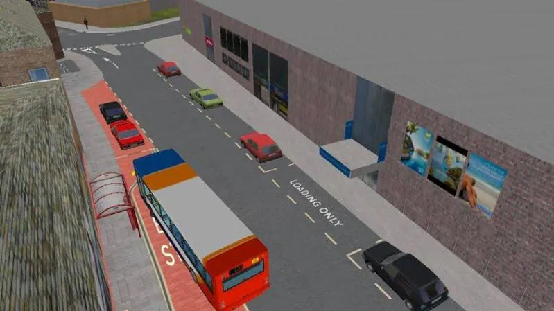
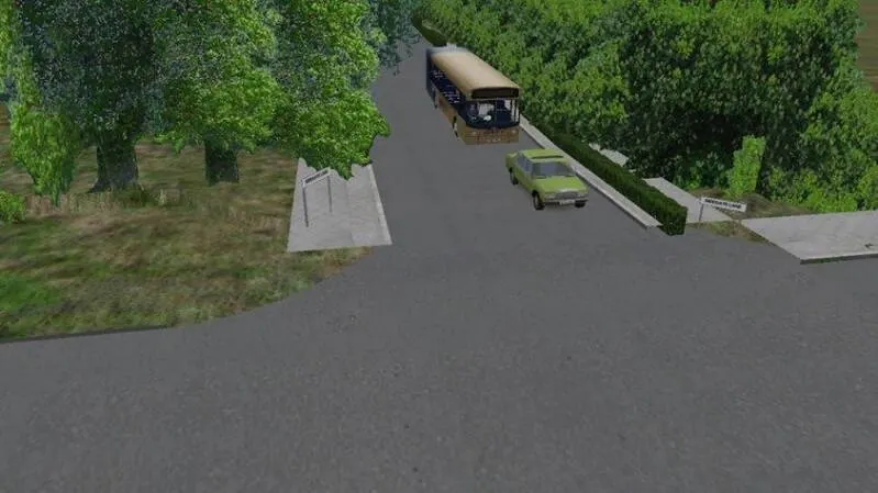
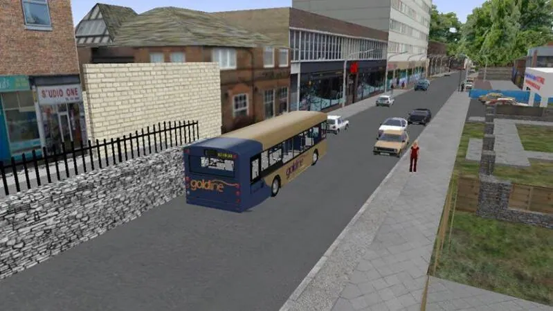
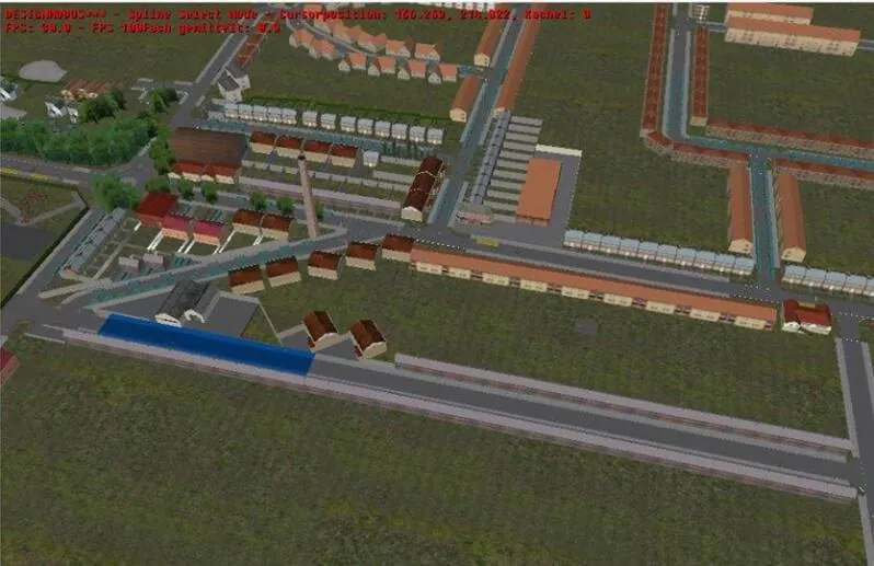
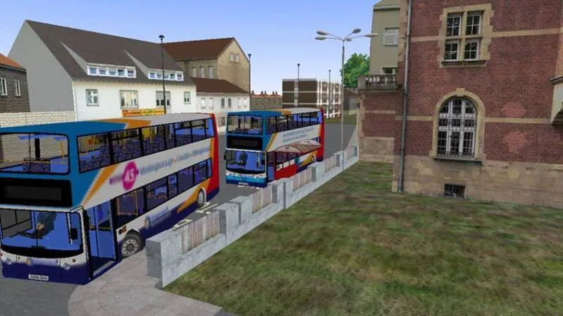
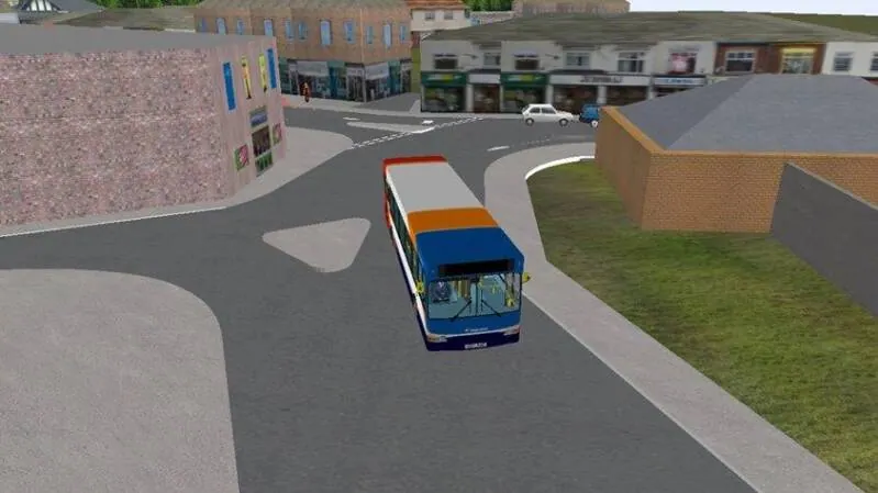
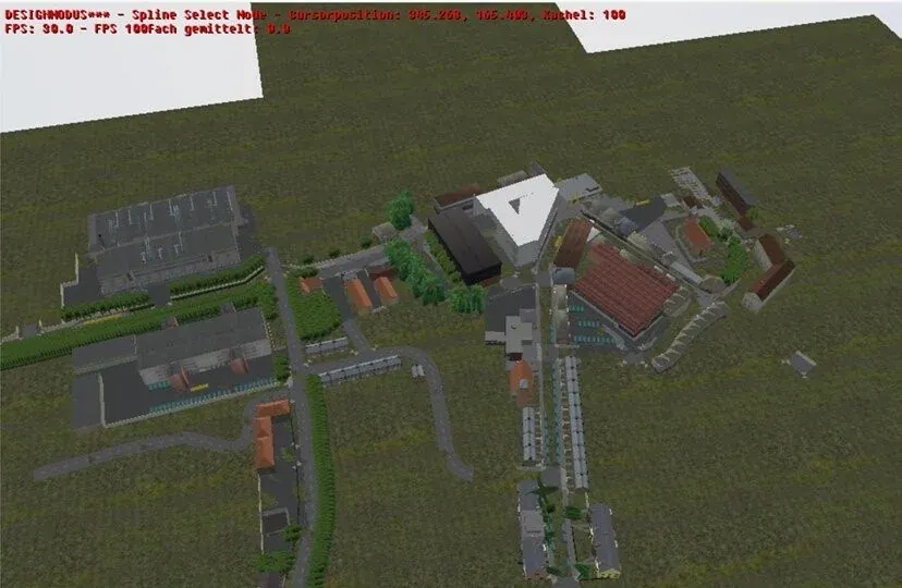
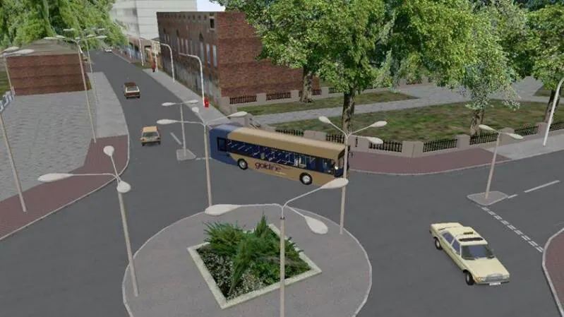
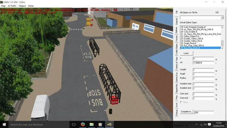
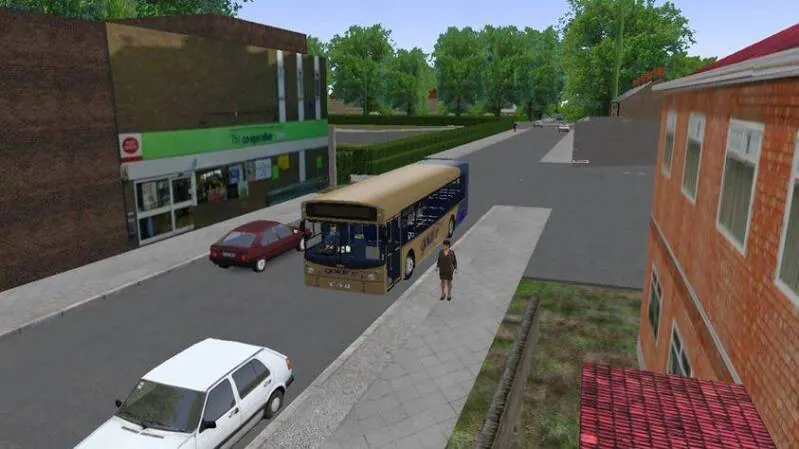
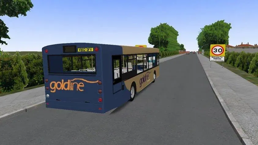
This map was once a up to date project and began to flourish quite nicely however due to complications the project was stopped and remains a dormant closed project, plans were to re-develop the map for omsi 2 using satellite imagery and precise locations and distances but this project was shortly put on hold due to other prioritised projects that were unfinished. The current stage covered 4 towns Rushden, Irthlingborough, Wellingborough and Finedon with bus routes partly completed and bus liveries that assist the maps transition, custom objects like Wellingborough church street interchange (seen in the photos), swans-gate shopping centre (also pictured), NHS nene park drop-in and Irthlingborough Rushden and diamonds bridge (not pictured) were made for the map and were present in its last testing build to developers. many of these object still exist and must a reboot be done will almost definitely be put back into the new map.
OMZ Beta Page
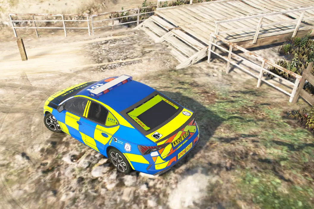
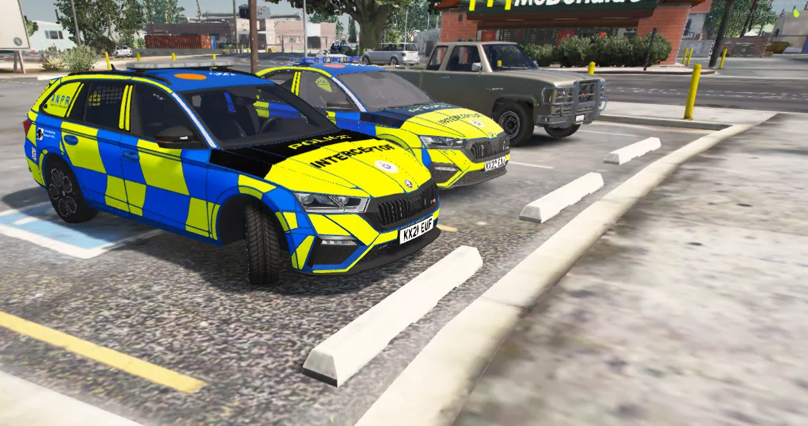
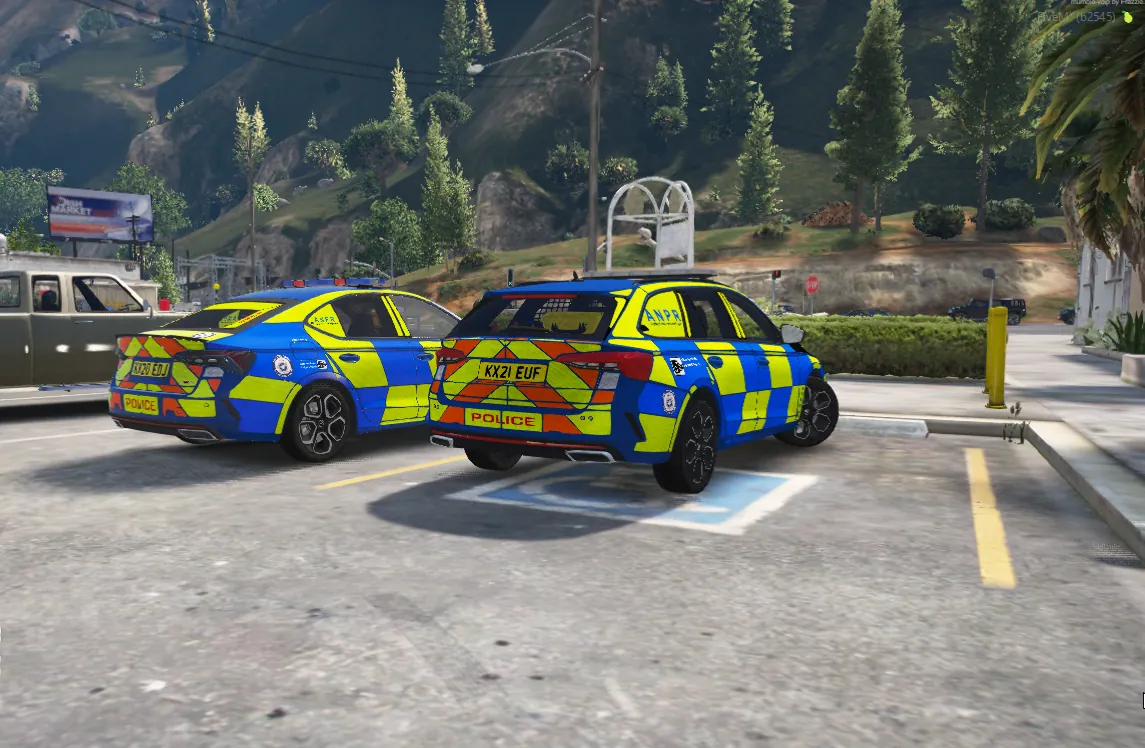
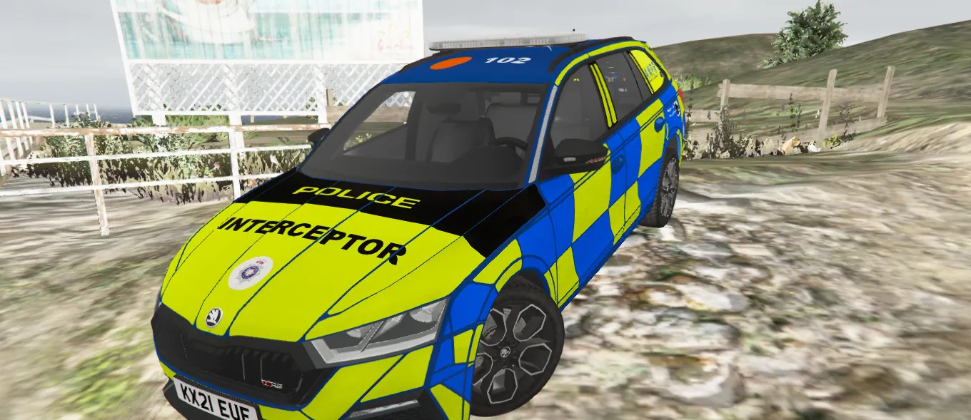
Dominion FreeRoam Server (FiveM]
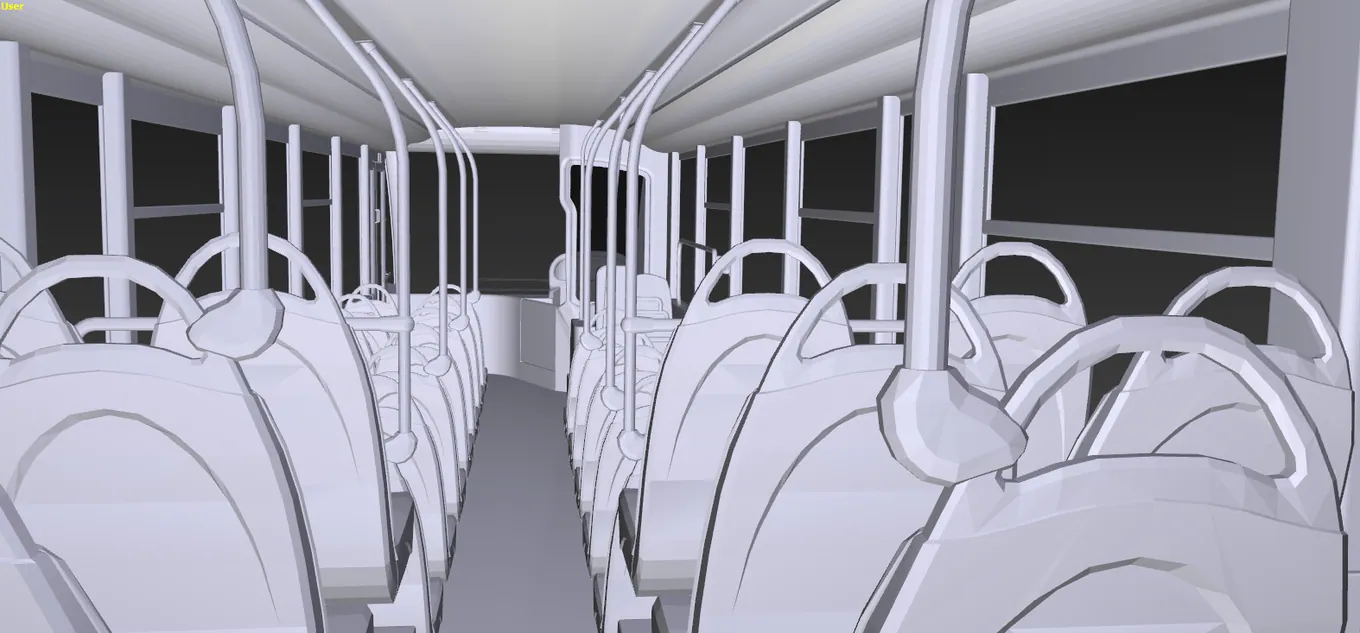
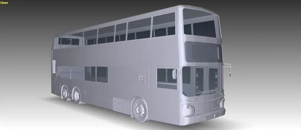
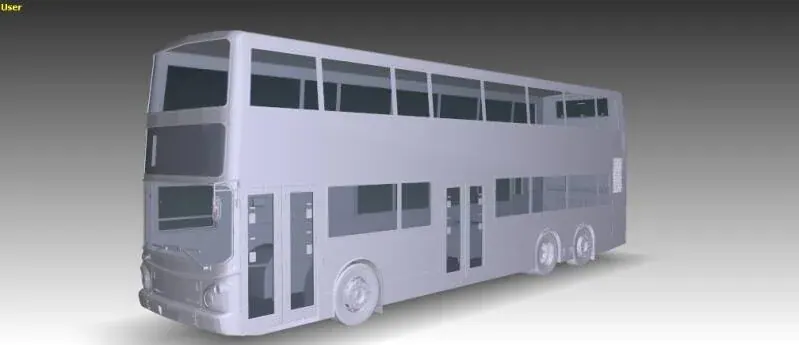
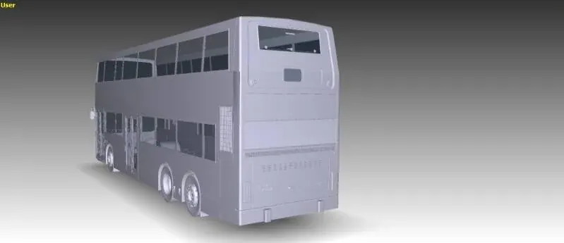
3D model_Base
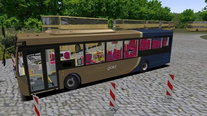
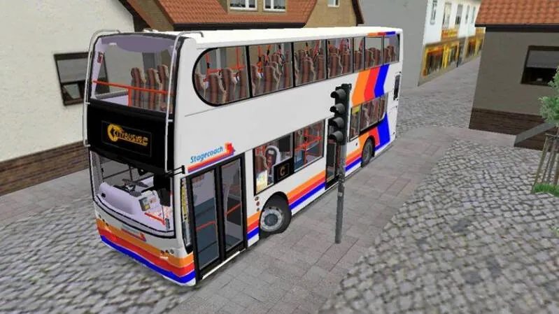
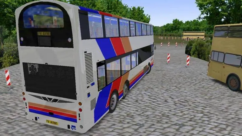
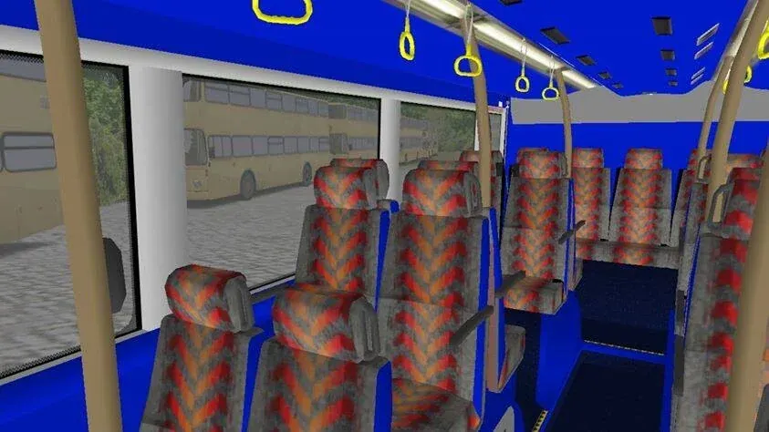
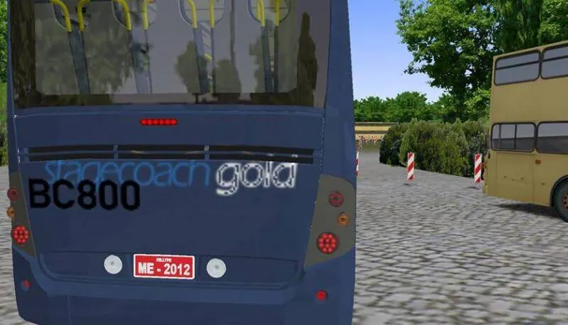
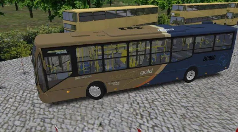
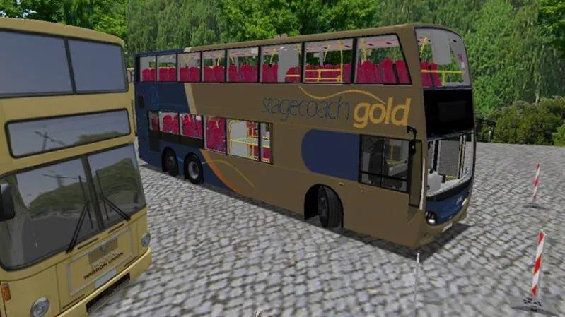
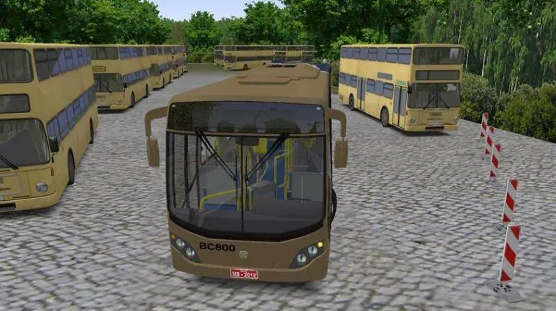
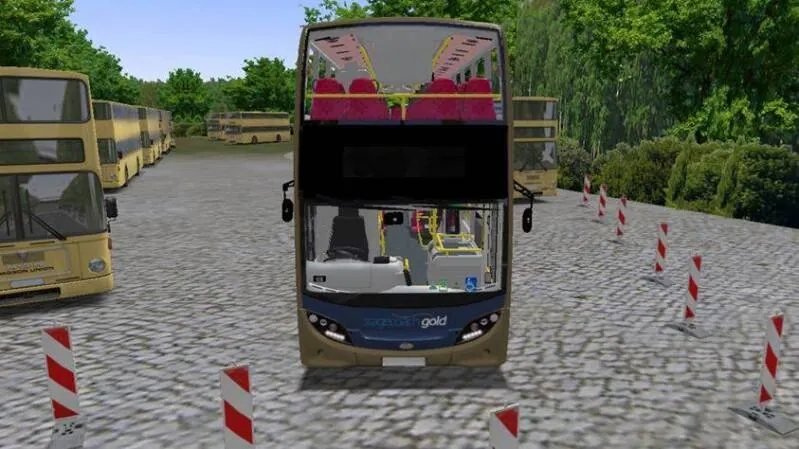
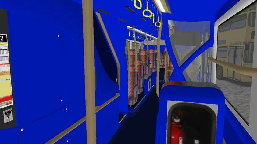
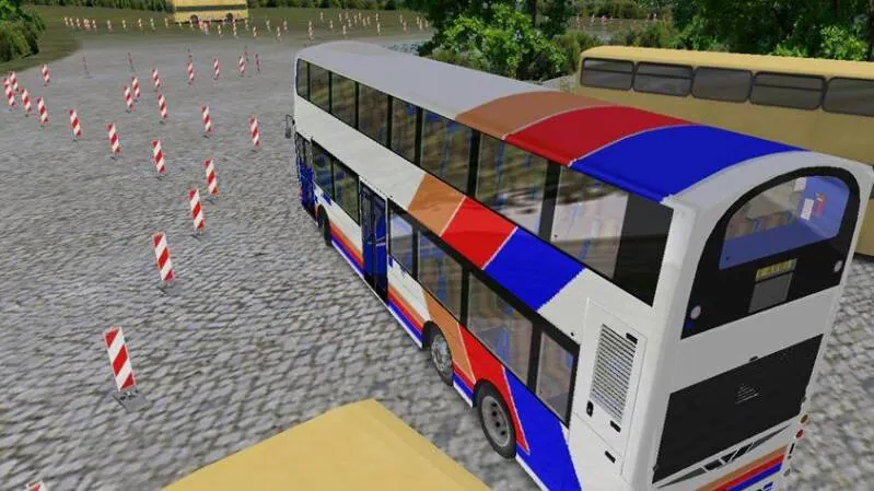
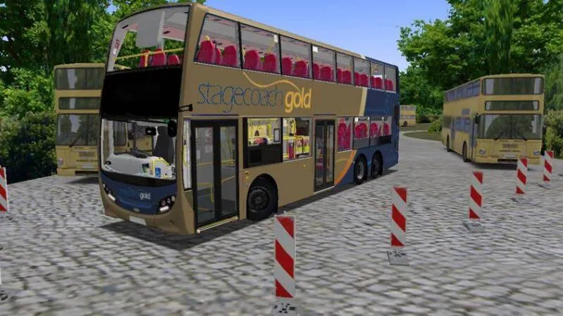
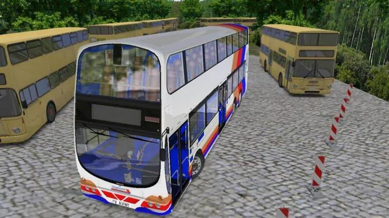
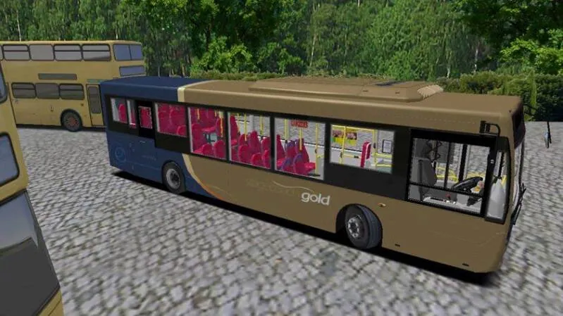
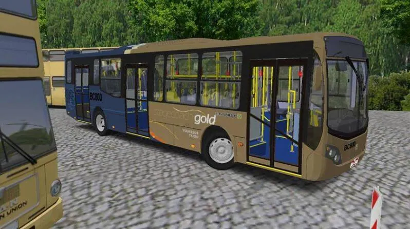
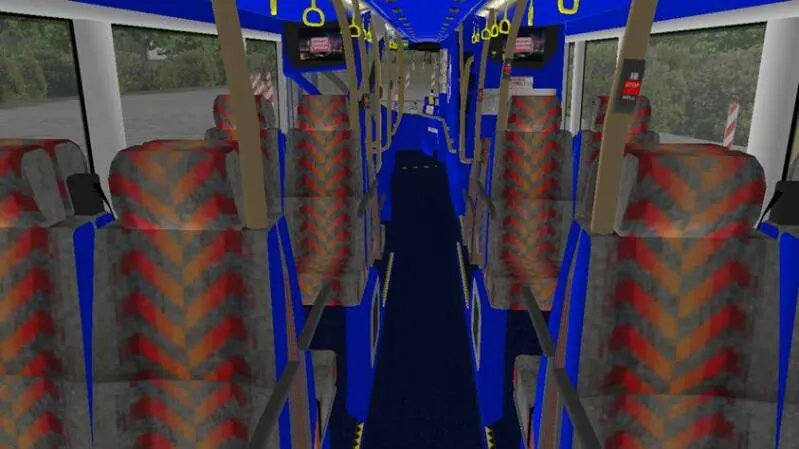
First Page Opening of Repaints in 2015
 OPEN IMAGE ↗
 OPEN IMAGE ↗
 OPEN IMAGE ↗
 OPEN IMAGE ↗
 OPEN IMAGE ↗
 OPEN IMAGE ↗
 OPEN IMAGE ↗
 OPEN IMAGE ↗
 OPEN IMAGE ↗
 OPEN IMAGE ↗
 OPEN IMAGE ↗
 OPEN IMAGE ↗
 OPEN IMAGE ↗
 OPEN IMAGE ↗
 OPEN IMAGE ↗
 OPEN IMAGE ↗
 OPEN IMAGE ↗
 OPEN IMAGE ↗
 OPEN IMAGE ↗
 OPEN IMAGE ↗
 OPEN IMAGE ↗
 OPEN IMAGE ↗
 OPEN IMAGE ↗
 OPEN IMAGE ↗
 OPEN IMAGE ↗
 OPEN IMAGE ↗
 OPEN IMAGE ↗
 OPEN IMAGE ↗
 OPEN IMAGE ↗
 OPEN IMAGE ↗
2015
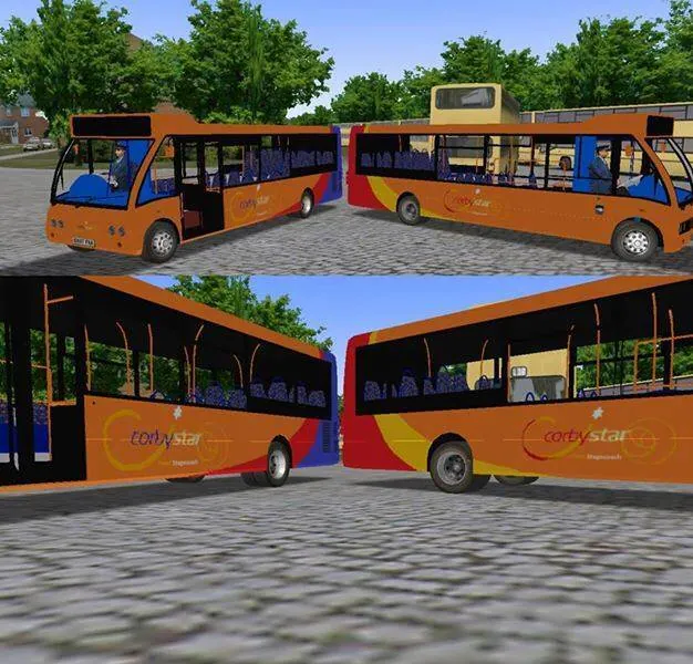
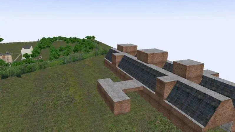
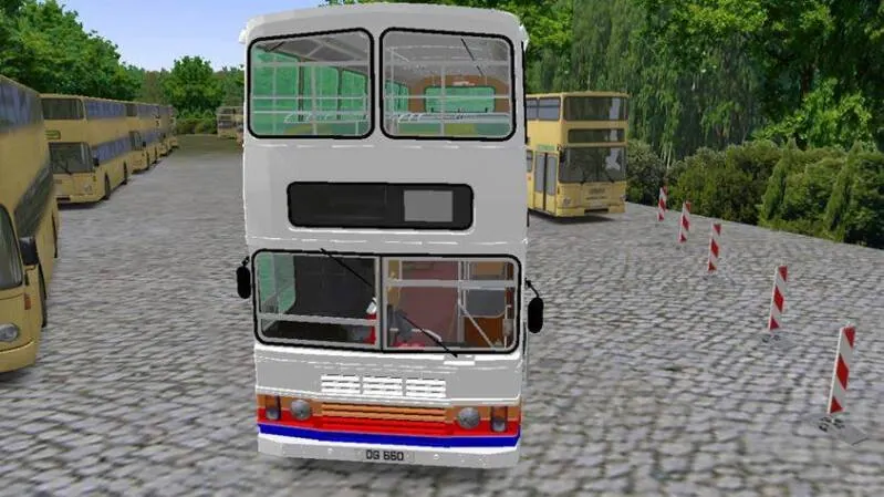
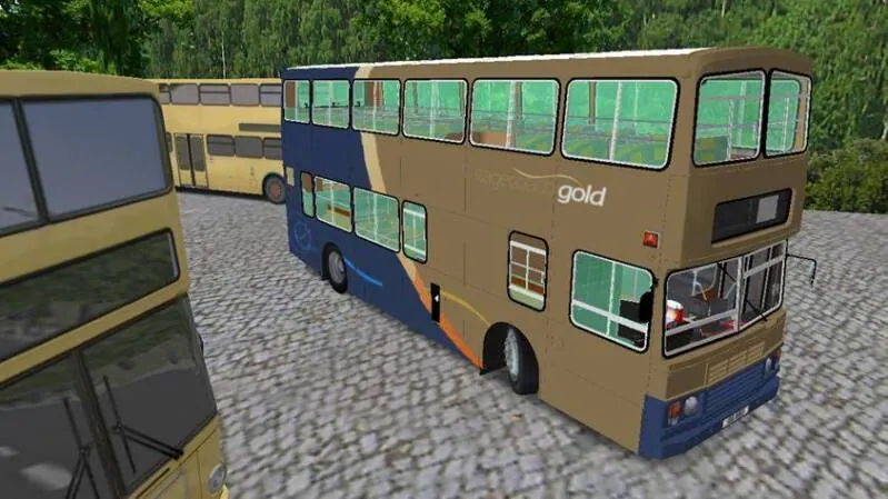
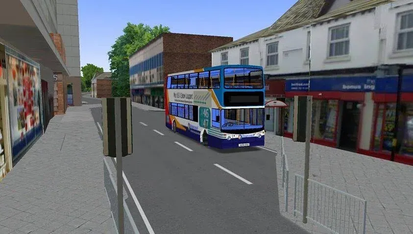
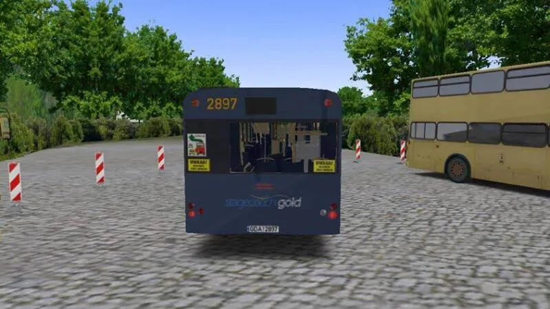
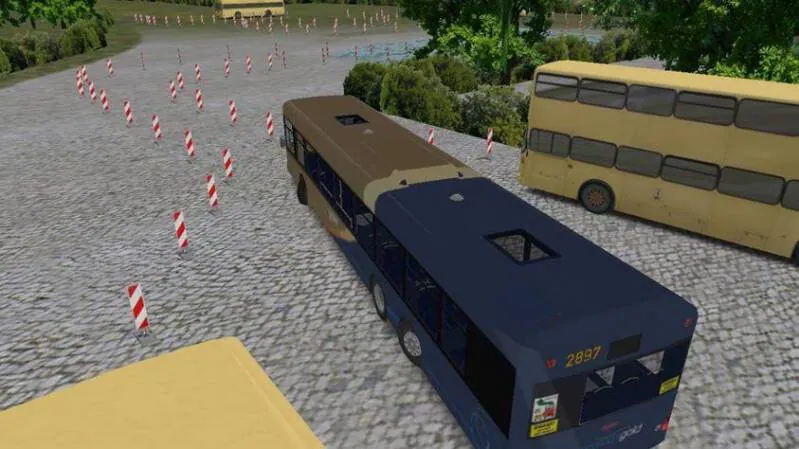
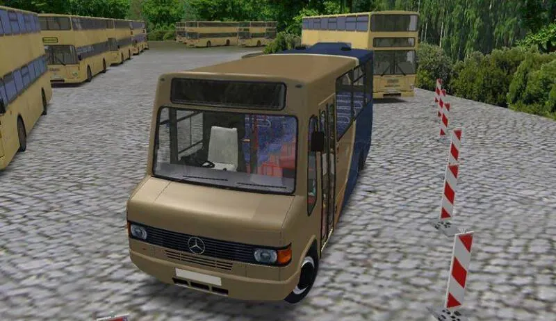
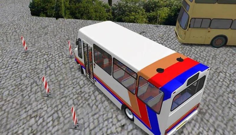
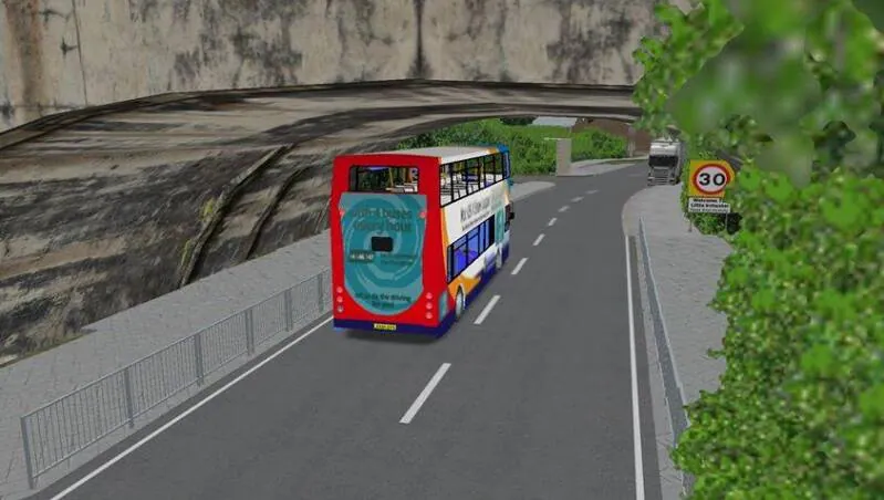
2015-16
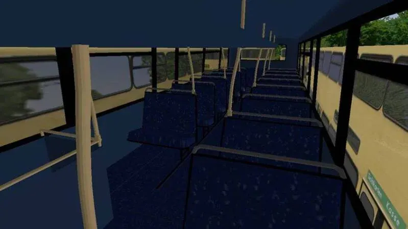 OPEN IMAGE ↗
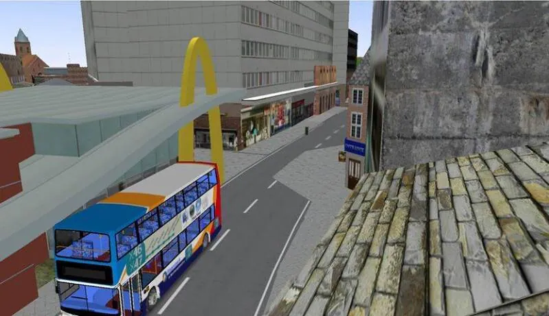 OPEN IMAGE ↗
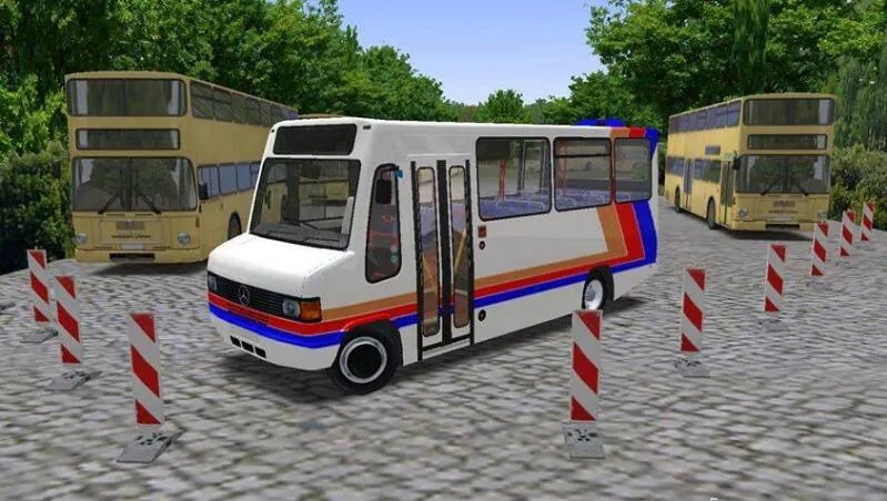 OPEN IMAGE ↗
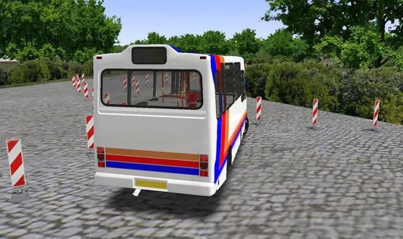 OPEN IMAGE ↗
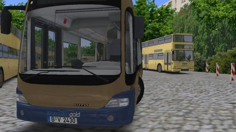 OPEN IMAGE ↗
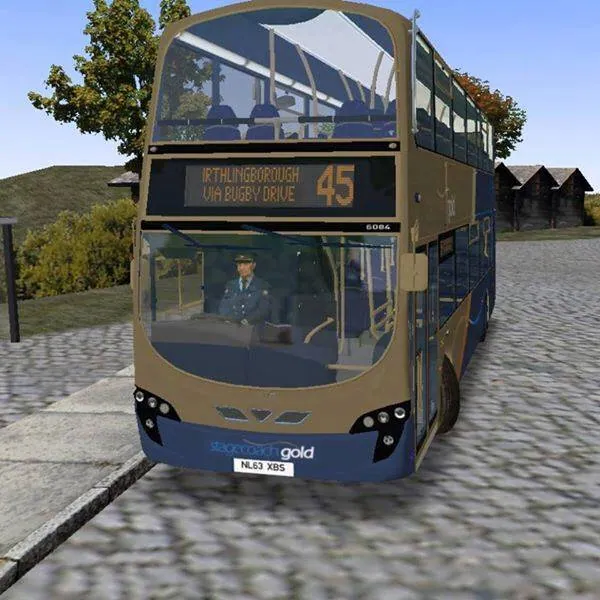 OPEN IMAGE ↗
 OPEN IMAGE ↗
 OPEN IMAGE ↗
 OPEN IMAGE ↗
 OPEN IMAGE ↗
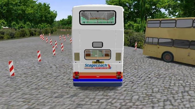 OPEN IMAGE ↗
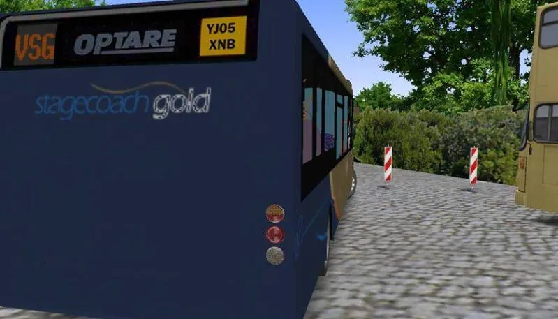 OPEN IMAGE ↗
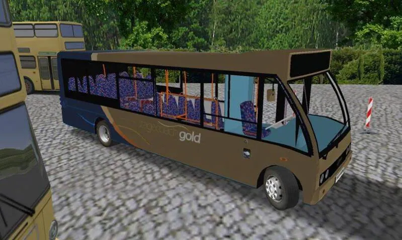 OPEN IMAGE ↗
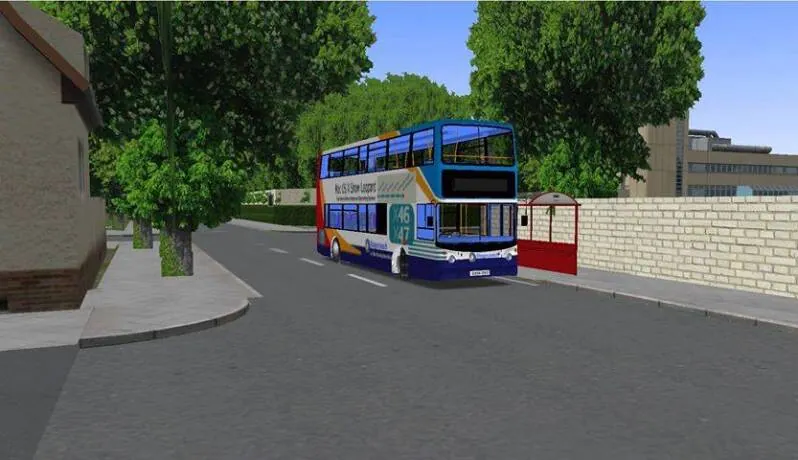 OPEN IMAGE ↗
 OPEN IMAGE ↗
 OPEN IMAGE ↗
 OPEN IMAGE ↗
 OPEN IMAGE ↗
 OPEN IMAGE ↗
 OPEN IMAGE ↗
 OPEN IMAGE ↗
 OPEN IMAGE ↗
 OPEN IMAGE ↗
 OPEN IMAGE ↗
 OPEN IMAGE ↗
 OPEN IMAGE ↗
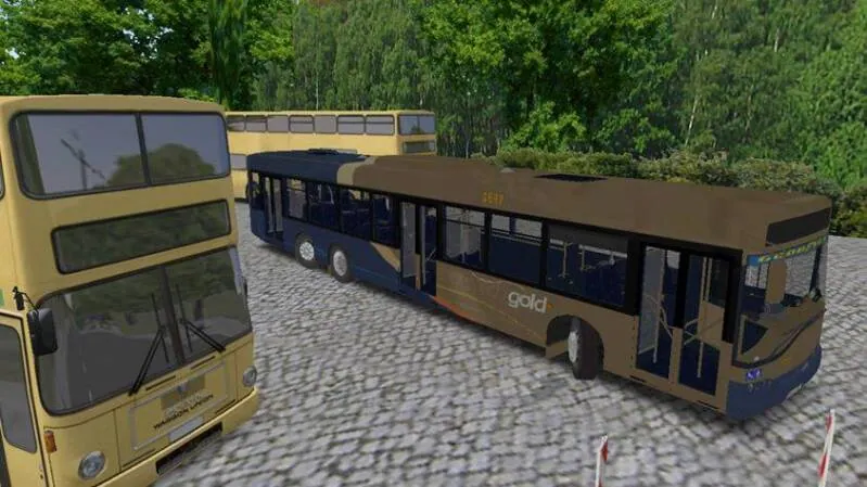 OPEN IMAGE ↗
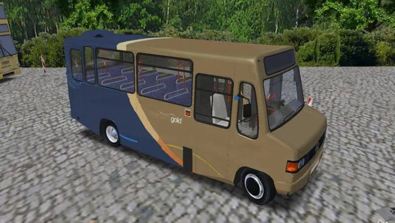 OPEN IMAGE ↗
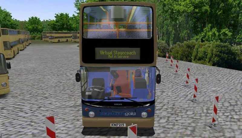 OPEN IMAGE ↗
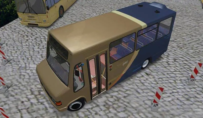 OPEN IMAGE ↗
 OPEN IMAGE ↗
 OPEN IMAGE ↗
 OPEN IMAGE ↗
 OPEN IMAGE ↗
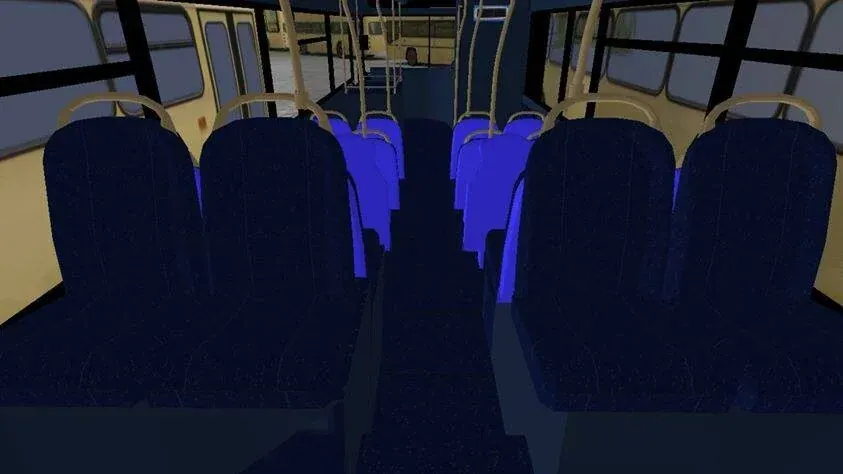 OPEN IMAGE ↗
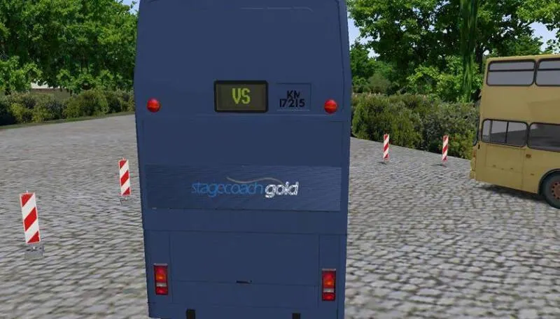 OPEN IMAGE ↗
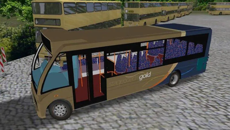 OPEN IMAGE ↗
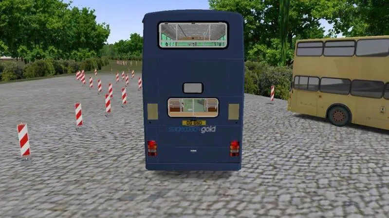 OPEN IMAGE ↗
 OPEN IMAGE ↗
 OPEN IMAGE ↗
 OPEN IMAGE ↗
 OPEN IMAGE ↗
 OPEN IMAGE ↗
 OPEN IMAGE ↗
 OPEN IMAGE ↗
 OPEN IMAGE ↗
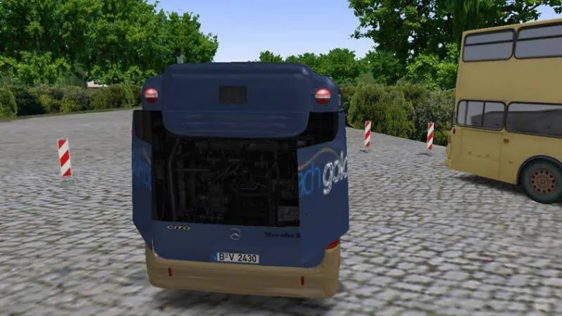 OPEN IMAGE ↗
 OPEN IMAGE ↗
Cover Photos
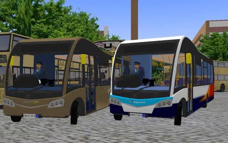
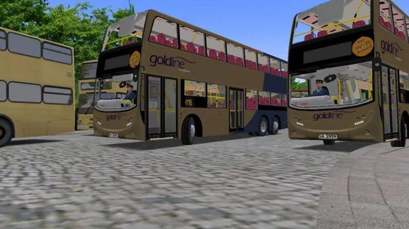
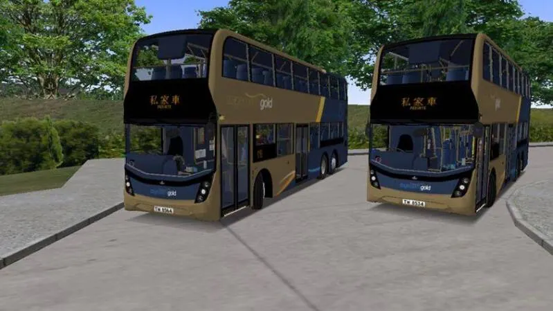
Northampton Map
 OPEN IMAGE ↗
 OPEN IMAGE ↗
 OPEN IMAGE ↗
 OPEN IMAGE ↗
 OPEN IMAGE ↗
 OPEN IMAGE ↗
 OPEN IMAGE ↗
 OPEN IMAGE ↗
 OPEN IMAGE ↗
 OPEN IMAGE ↗
 OPEN IMAGE ↗
 OPEN IMAGE ↗
 OPEN IMAGE ↗
 OPEN IMAGE ↗
 OPEN IMAGE ↗
 OPEN IMAGE ↗
 OPEN IMAGE ↗
 OPEN IMAGE ↗
 OPEN IMAGE ↗
 OPEN IMAGE ↗
 OPEN IMAGE ↗
 OPEN IMAGE ↗
 OPEN IMAGE ↗
 OPEN IMAGE ↗
 OPEN IMAGE ↗
 OPEN IMAGE ↗
 OPEN IMAGE ↗
 OPEN IMAGE ↗
 OPEN IMAGE ↗
 OPEN IMAGE ↗
 OPEN IMAGE ↗
 OPEN IMAGE ↗
 OPEN IMAGE ↗
 OPEN IMAGE ↗
 OPEN IMAGE ↗
 OPEN IMAGE ↗
 OPEN IMAGE ↗
 OPEN IMAGE ↗
OMZ Beta Page
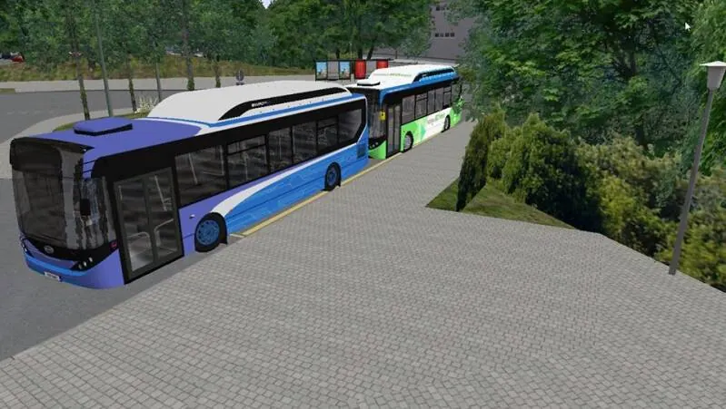
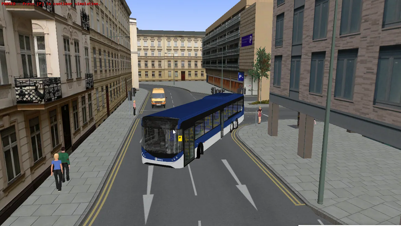
Dominion FreeRoam Server
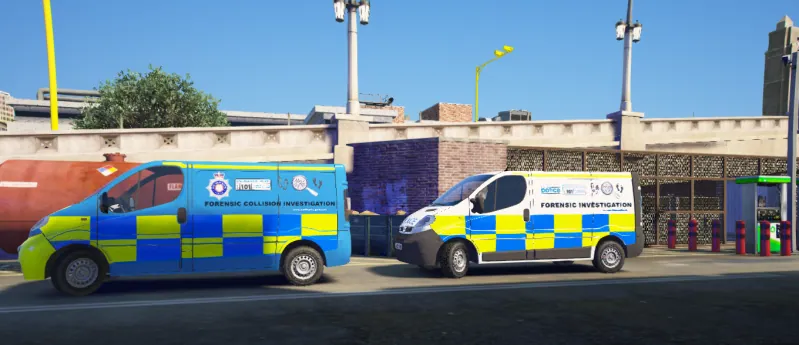
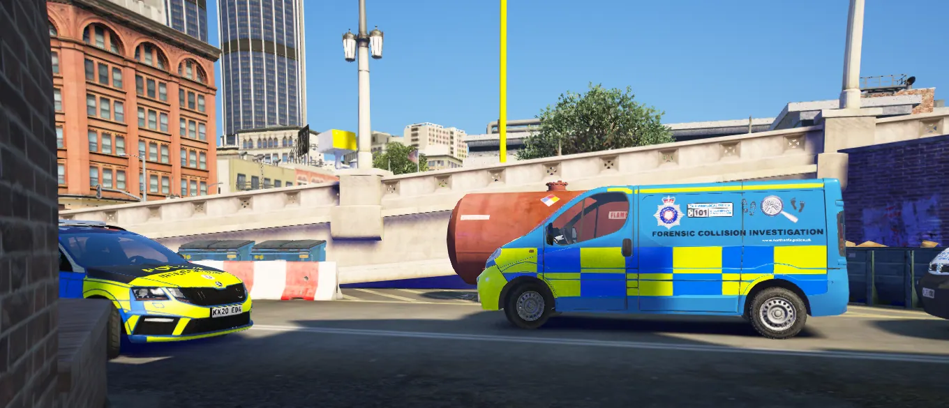
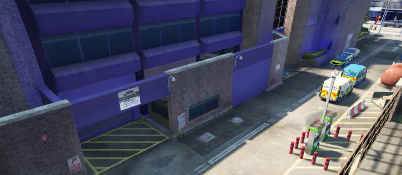
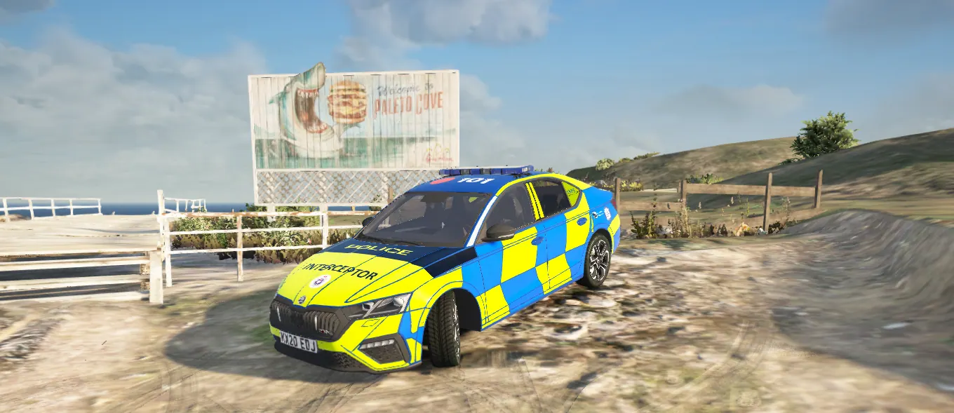
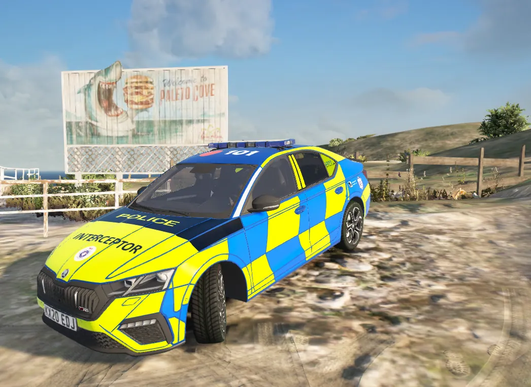
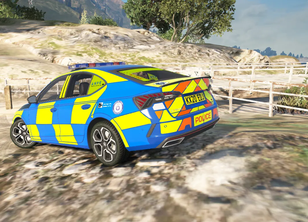
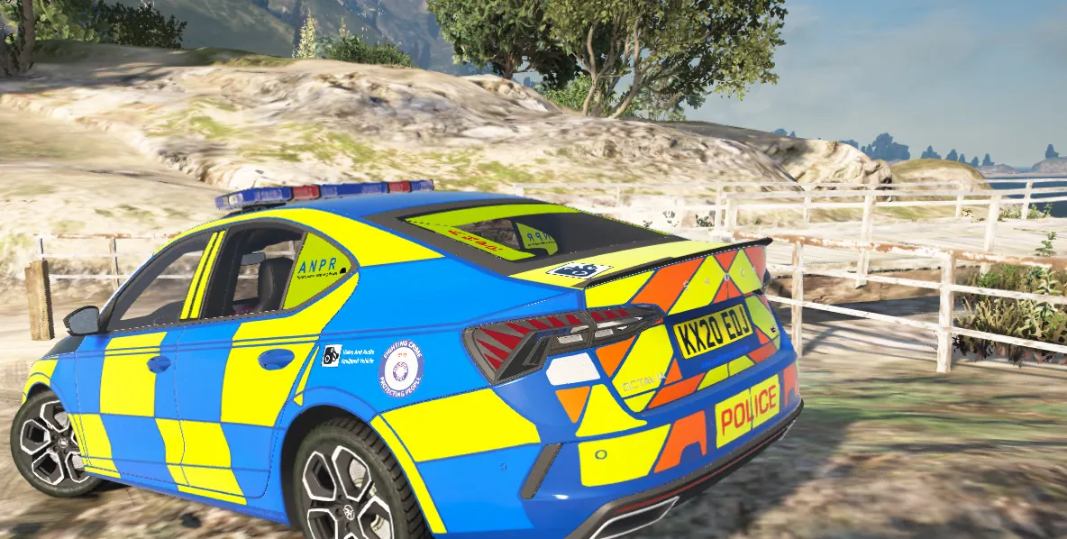
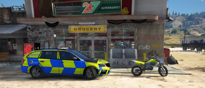
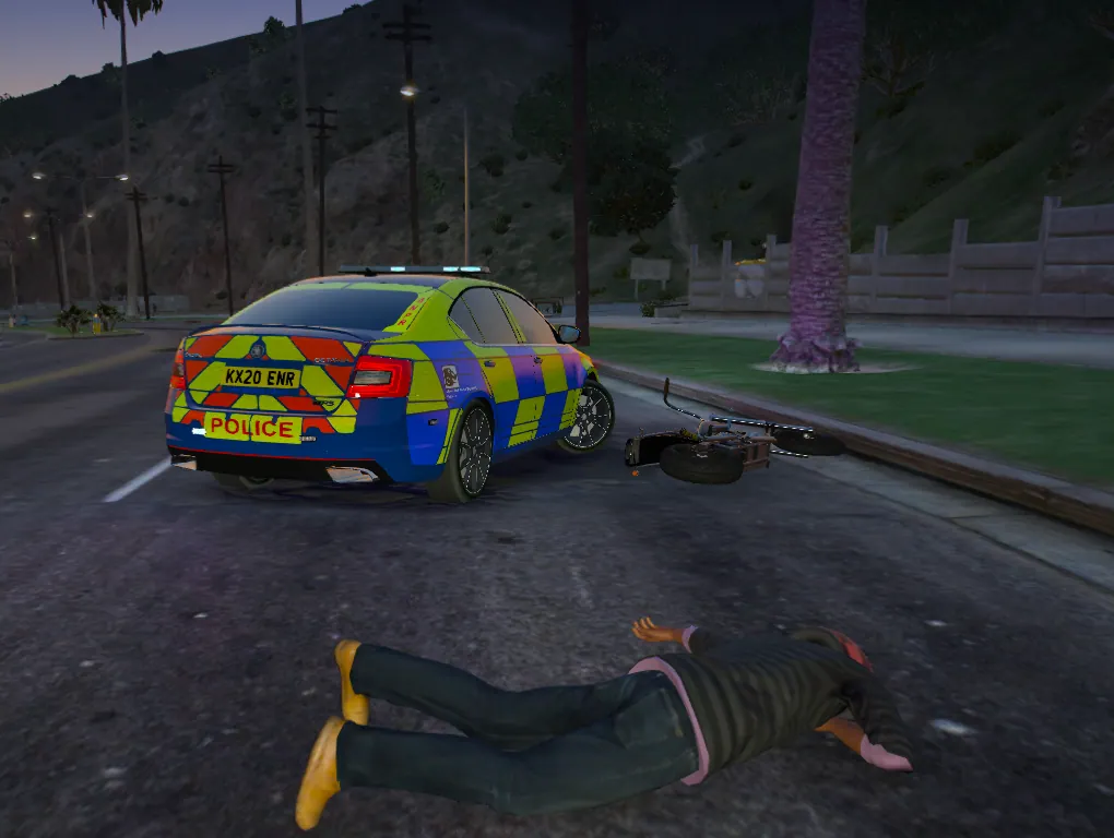
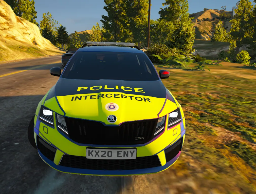
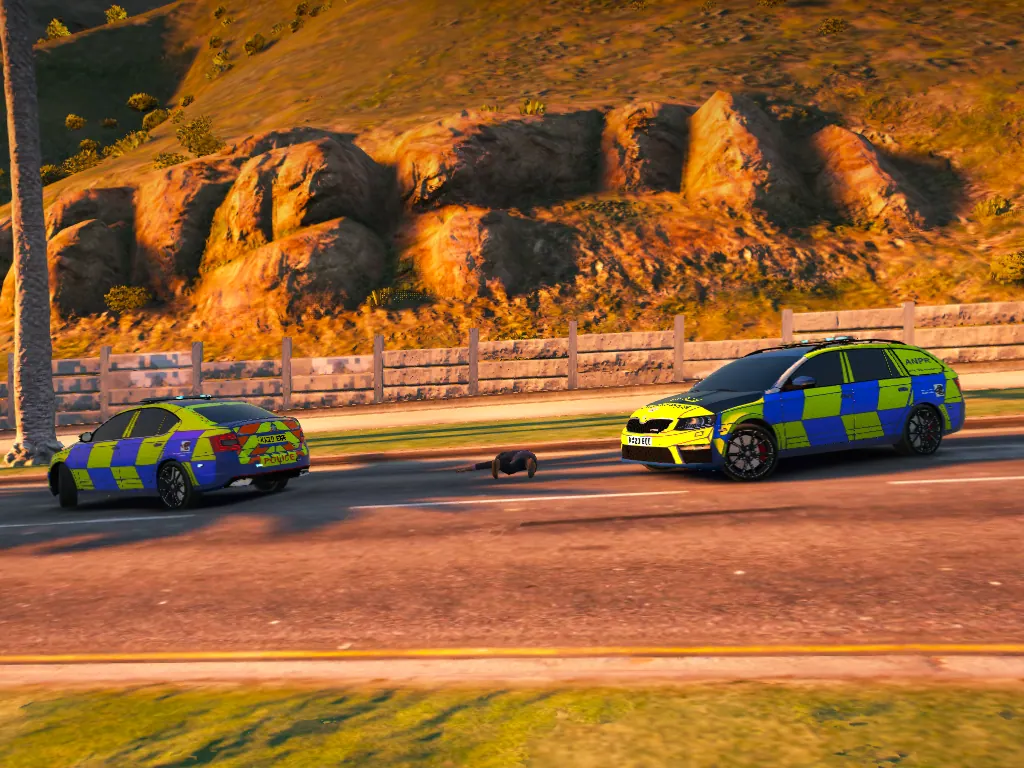
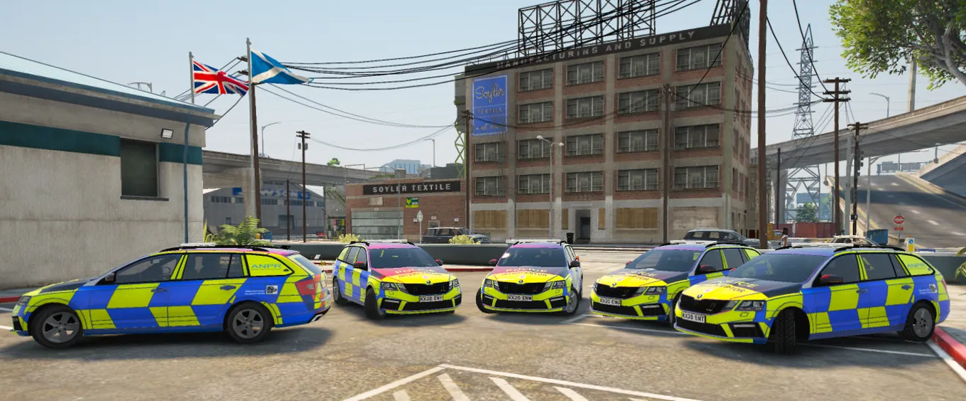
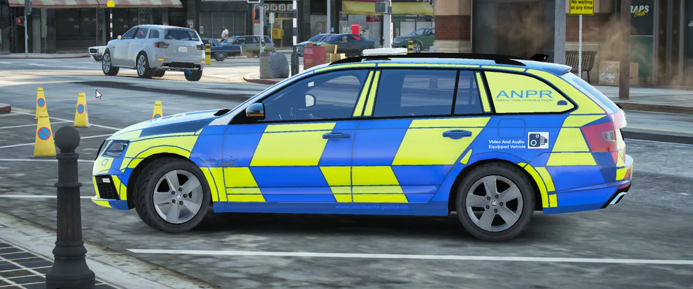
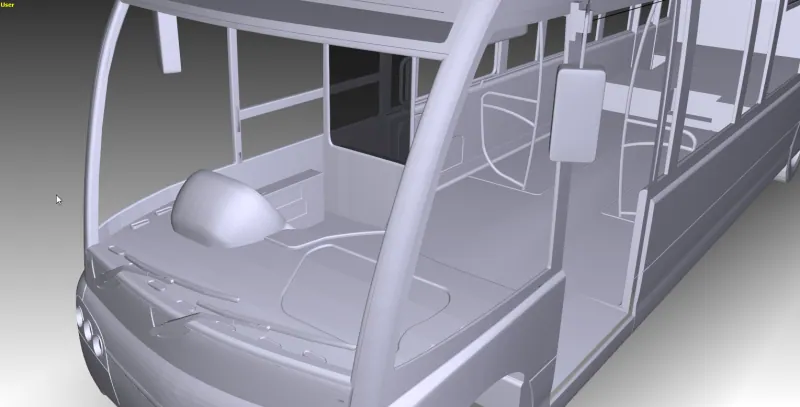
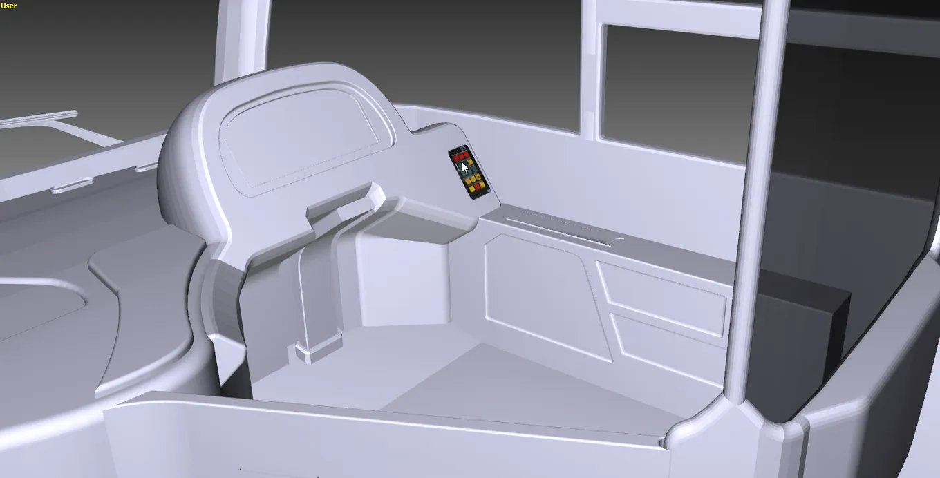
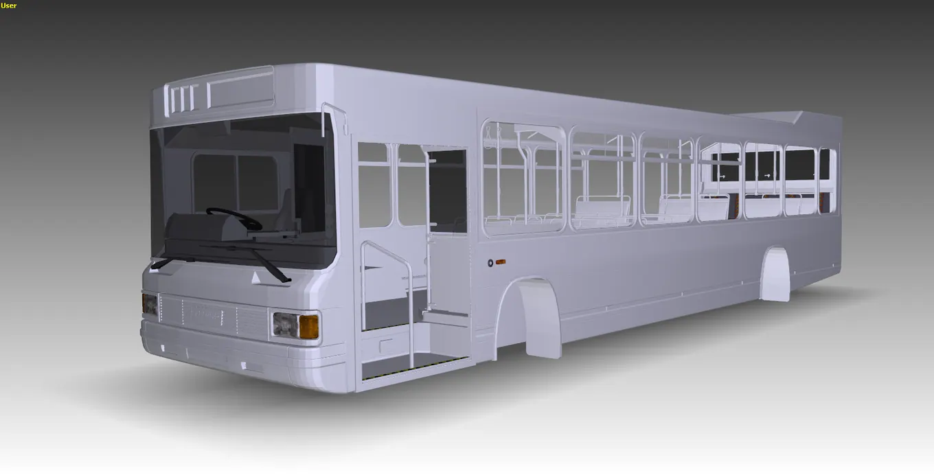
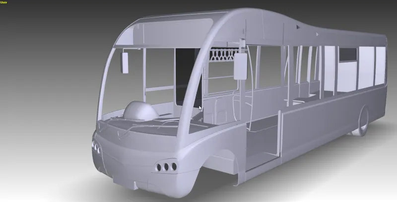
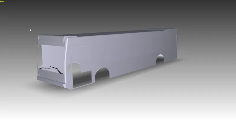
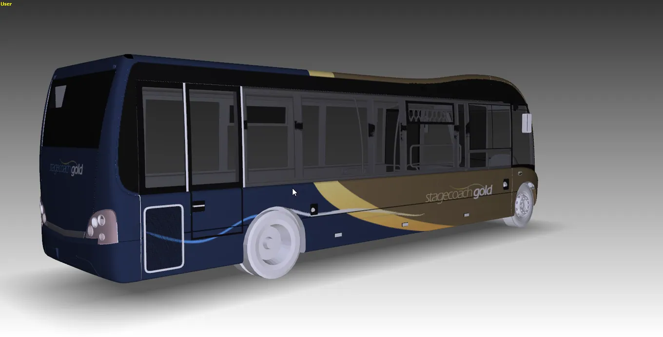
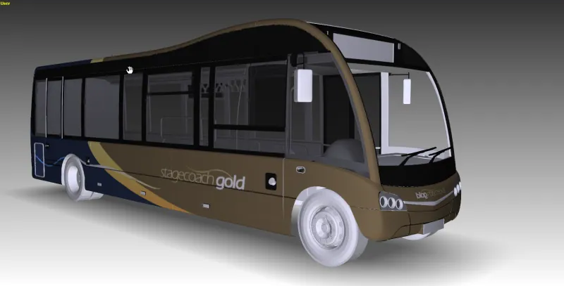
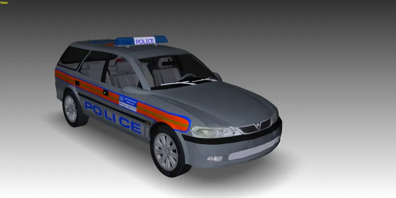
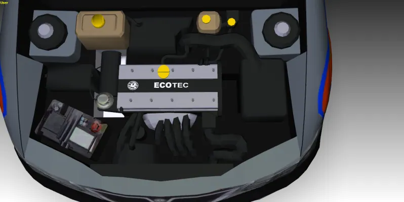
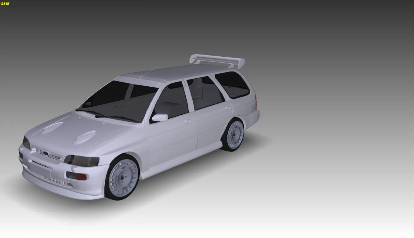
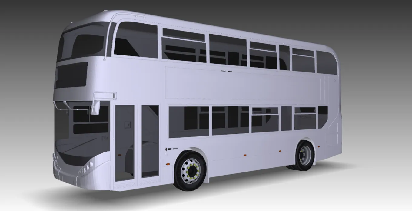
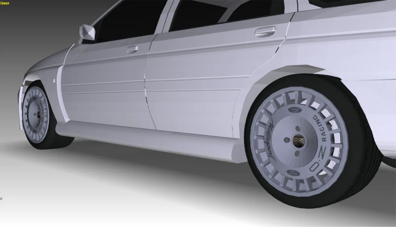
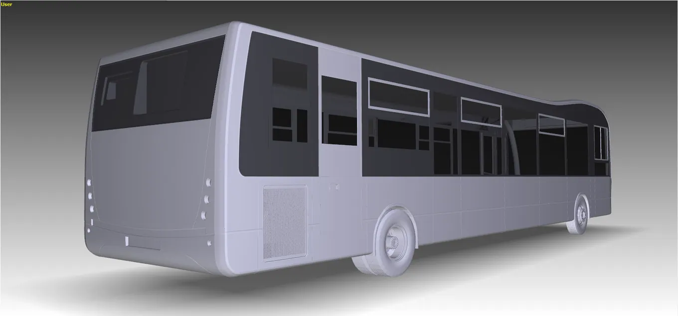
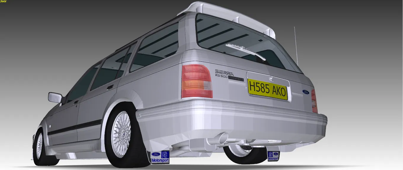
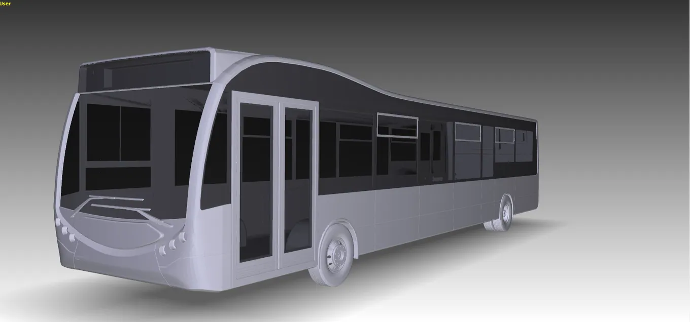
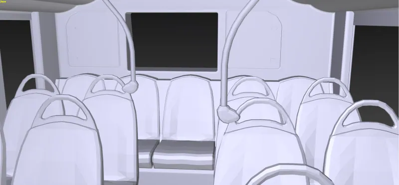
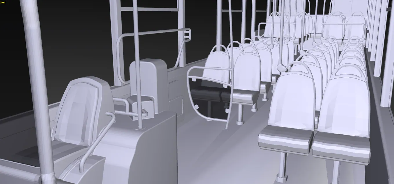
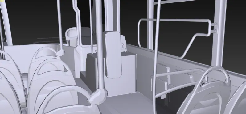
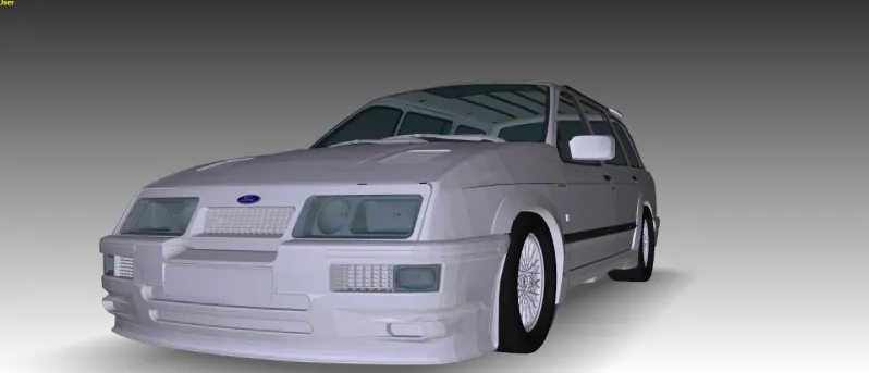
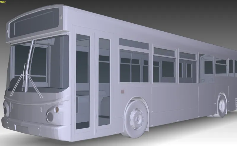
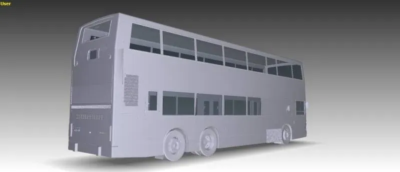
3D Model Base Assets
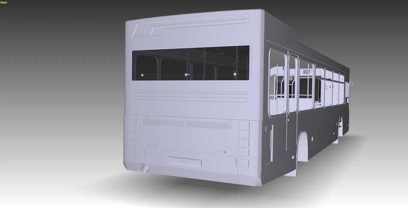 OPEN IMAGE ↗
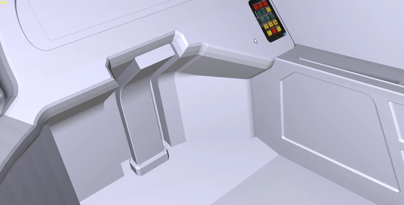 OPEN IMAGE ↗
 OPEN IMAGE ↗
 OPEN IMAGE ↗
 OPEN IMAGE ↗
 OPEN IMAGE ↗
 OPEN IMAGE ↗
 OPEN IMAGE ↗
 OPEN IMAGE ↗
 OPEN IMAGE ↗
 OPEN IMAGE ↗
 OPEN IMAGE ↗
 OPEN IMAGE ↗
 OPEN IMAGE ↗
 OPEN IMAGE ↗
 OPEN IMAGE ↗
 OPEN IMAGE ↗
 OPEN IMAGE ↗
 OPEN IMAGE ↗
 OPEN IMAGE ↗
 OPEN IMAGE ↗
 OPEN IMAGE ↗
 OPEN IMAGE ↗
 OPEN IMAGE ↗
 OPEN IMAGE ↗
 OPEN IMAGE ↗
 OPEN IMAGE ↗
 OPEN IMAGE ↗
 OPEN IMAGE ↗